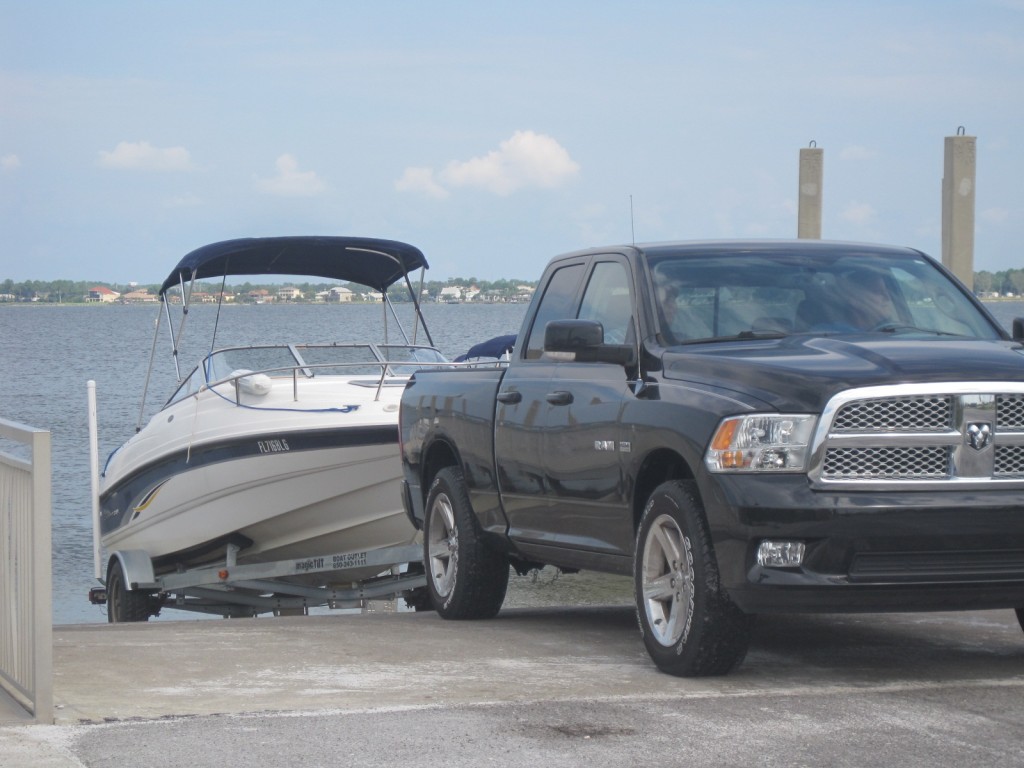
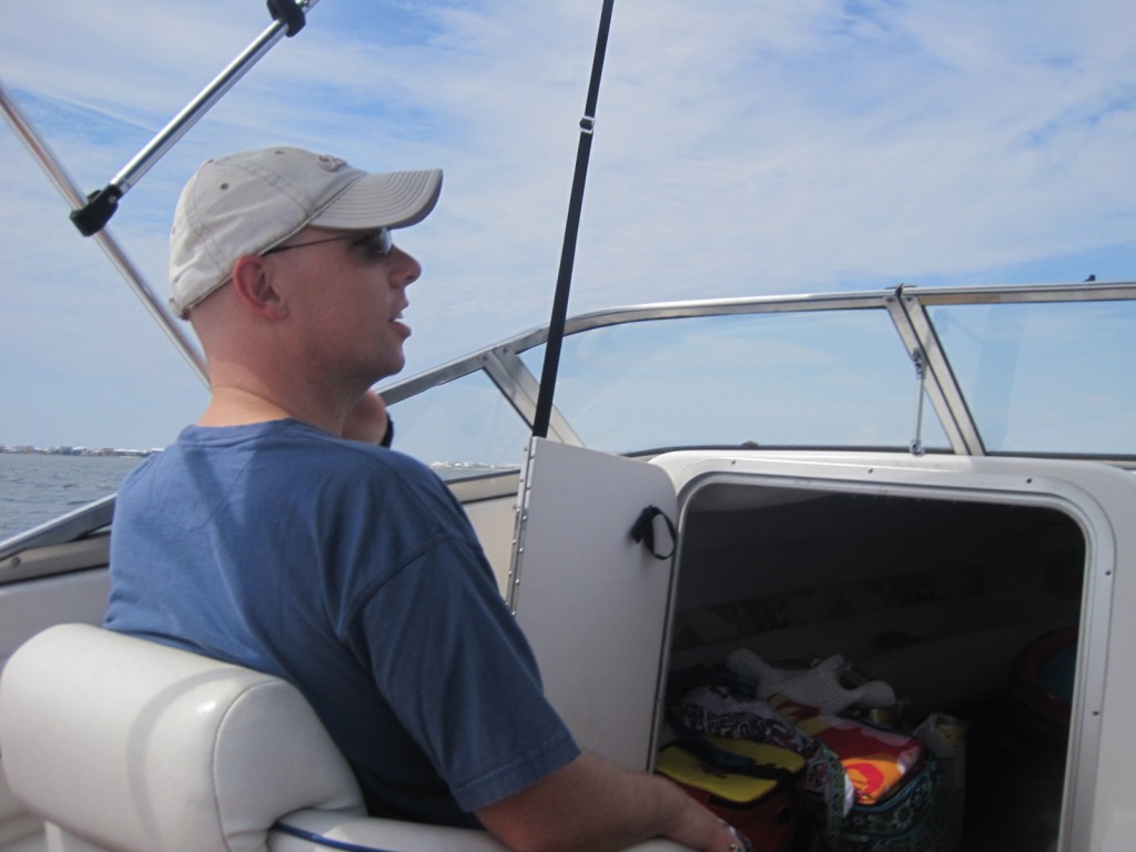
Our friends and neighbors, the Scotts, took our family out on their boat last weekend. It was so kind of them to offer; their boat seats 4 adults and 2 kids pretty well, but no more passengers than that can fit, so we had to find a weekend that didn’t involve other visitors.
We here thought we were going to have a visitor this weekend, my girlfriend Susan from Virginia, so we had said “No, thank you.” to the invitation at first. Susan canceled at the last minute because of Issac impacting her return trip. So then we were able to fit in a trip just before hunkering down and preparing for Issac.
Michael and Cathy gave us a choice: would we like to go east to Crab Island or west towards Pensacola Pass. Cathy told us there was an area similar to Destin’s Crab Island towards the west at the mouth of Pensacola Bay. Since we had been to Crab Island before, and I’m such a sucker for new experiences, we elected to go west.
We put the boat in the water at about 10am, and it took about 90 minutes to get to our location. The trip took us past Gulf Islands National Seashore, Fort Pickens and much of NAS Pensacola. When we docked, we were in view of the Pensacola Lighthouse and the Museum of Naval Aviation. The map below shows where we were — on the shore just west of the mouth of the Pensacola Bay, along a channel called Pensacola Pass.
View Larger Map
When Cathy was trying to tell me about this place, she wasn’t really sure of the name. She and I jokingly called it “The Crab Island-Like Place near Pensacola” when we were planning. We asked a couple people who were near our docked location about the name, and we heard two names: “Fort McRee” and “Sand Island”.
When I looked online, I found a forum post that provided several other names: Admiral’s Island, Dog Island, Pelican Island. Nonetheless, it was a lovely place to dock the boat and play.
It was a very Floridian day for us! Enjoy some pictures (mostly of the kids).
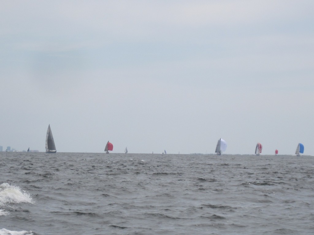
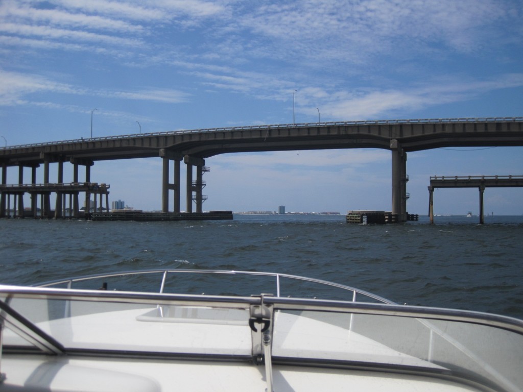
Once you’re west of Pensacola Beach Bridge, you’ve transitioned from being in Santa Rosa Sound to being in Pensacola Bay. Then we were quite surrounded by sailboats most of the way across the bay. You can also see the chop on the bay.
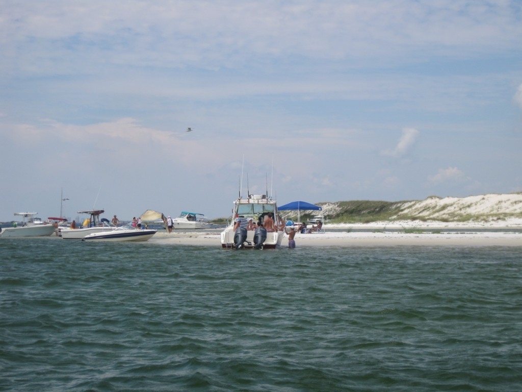
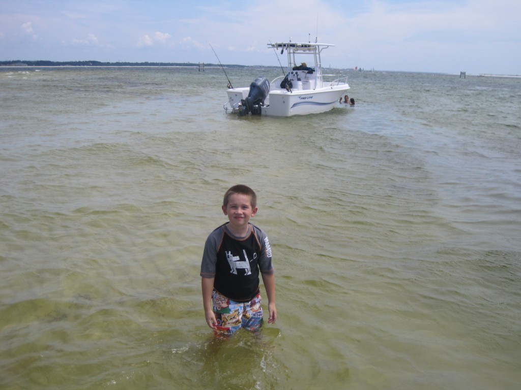
A view of where we were headed at Fort McRee. We docked just to the right of that center boat. Not nearly as crowded as Crab Island. Not nearly as wild and crazy either!
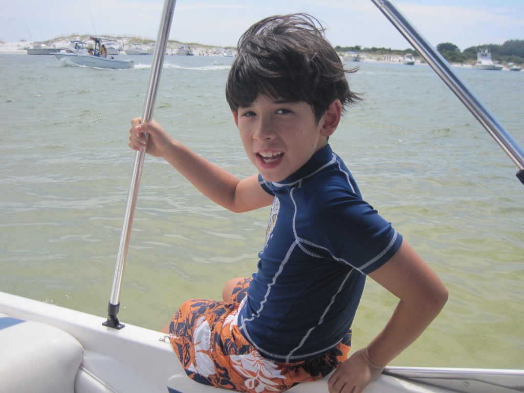
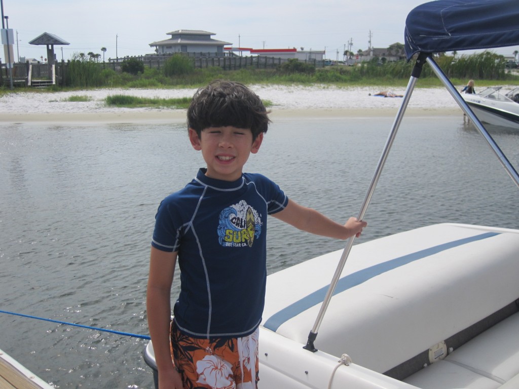
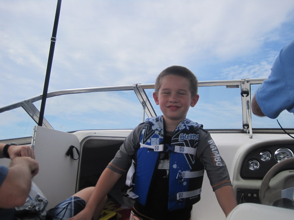
Jacob was asking “Can I just jump in?” The water was REALLY shallow, so after plenty of warning about that, we let him do it.
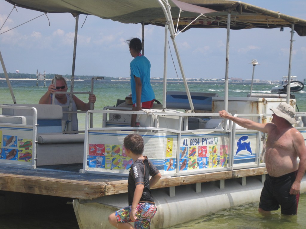
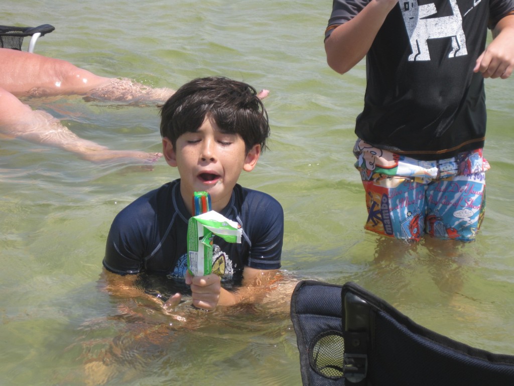
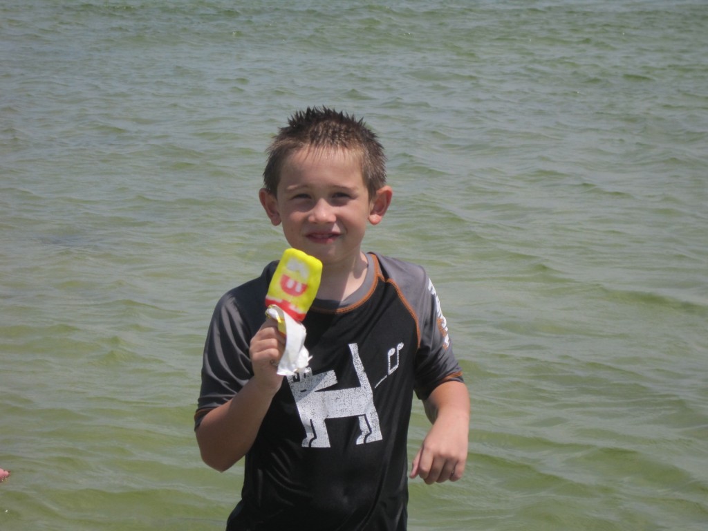
That is an ICE CREAM BOAT! Seriously! It plays the music, and you wave and it pulls right up near you. And of course we let the kids get ice cream. I couldn’t resist this concept!
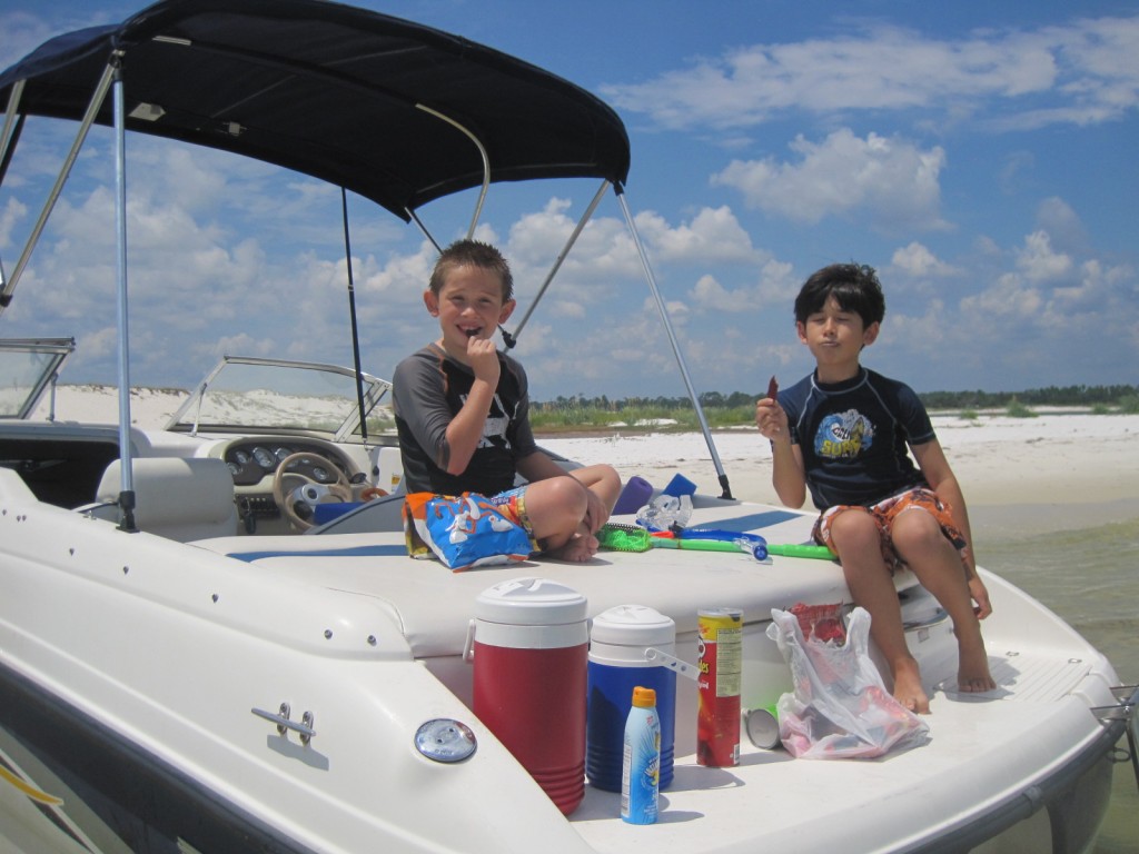
One thing about hanging out with the Scotts — they know how to pack for an outing! We all brought plenty of drinks and snacks! The kids discovered the beauty of beef jerky.
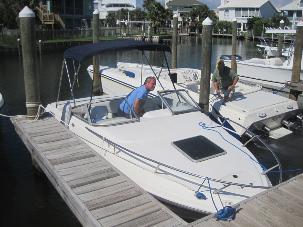
After a couple hours at Fort McRee, we headed to Pensacola Beach and docked at Peg Leg Pete’s for a late lunch before heading back to Navarre. Tip: 3pm is a very good time to go to Peg Leg Pete’s.

Recent Comments