
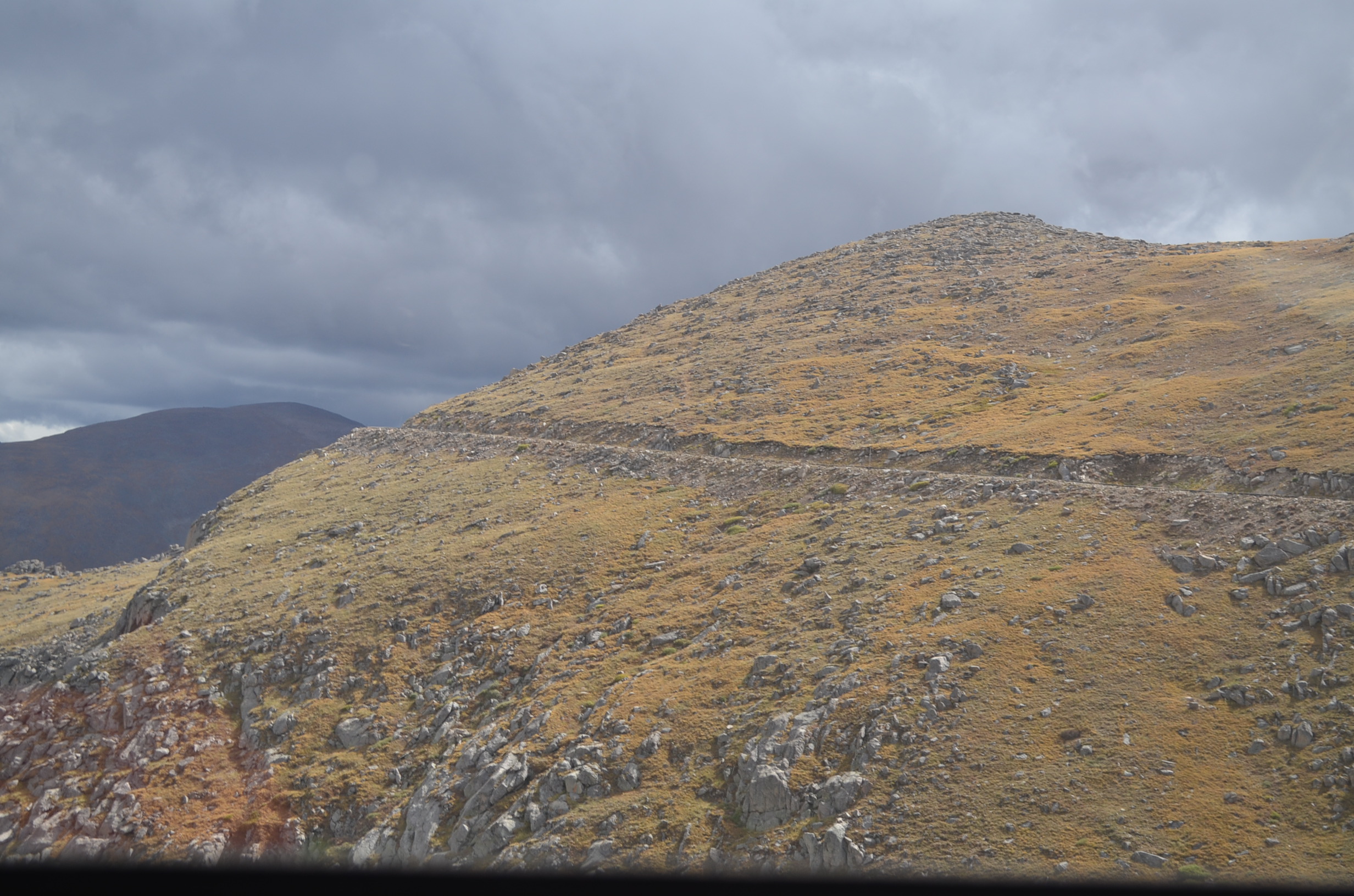
I wish I had gotten a picture when I was further away, and this isn’t even the peak. The peak is just to the right of this, and we were probably at about 12,900′ here so you aren’t looking all that high up.
Click here for a picture from Flickr user Kevin Bauman, which is a lovely view from Denver.
Mount Evans is one of Colorado’s 50+ Fourteeners and is one of the ones nearest to Denver. Mount Bierstadt is also nearby, and we could easily see it as we were ascending the mountain.
Last weekend my old college roommate Megan came into town from New England for my birthday. I invited our friend Adam down from Denver to spend some time with us. I had originally planned to drive Megan up Pike’s Peak via the auto road, but Adam had talked us into Mount Evans. He said the drive is much more scenic, and is free of charge. The Pike’s Peak road is a toll road.
Adam drove our new Subaru for us and took Megan and me on a lovely scenic route west of the front range from Woodland Park, CO up to Evergreen, CO. The route took us along the Platte River which is a popular swimming and fishing spot during the warm season. We saw numerous trout fishermen in their waders.

The views along the Platte River were stunning! I couldn’t stop taking pictures out the window.
From Evergreen we turned west and headed up the Mount Evans Auto Road. It’s about 30 miles up the road and there are beautiful views throughout.

The aspen were just starting to turn gold!
As always, the trees dwindle as you ascend up the mountain, and by 11,000′ there were just a smattering of bristlecone pines…and then there were rocks.
Rocks, rocks and more rocks. If you look closely, there’s a little bit of lichen and moss…but that’s it.
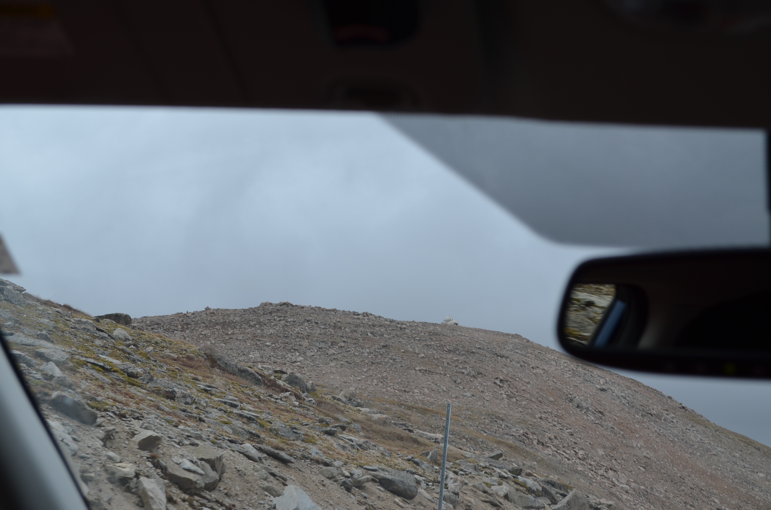
At the top of Mt. Evans is an observatory. Our plan was to climb the little bit of summit, then visit the observatory briefly.
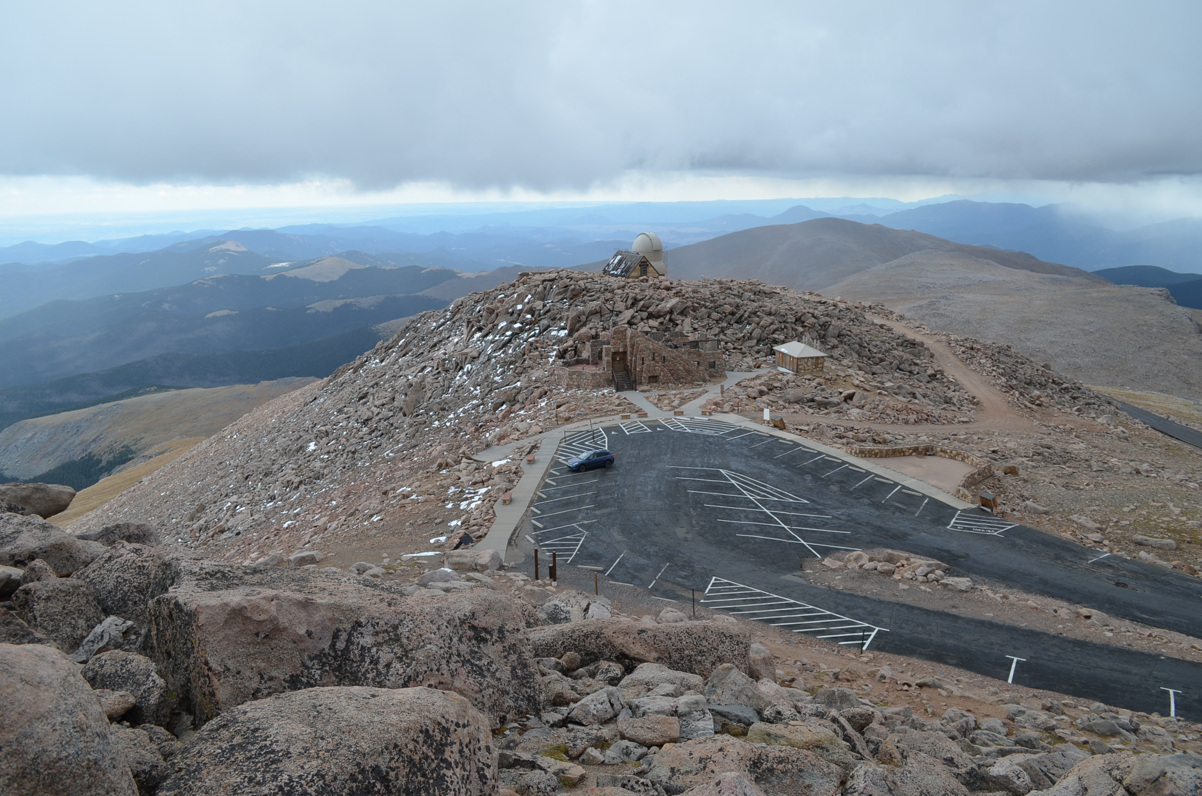
An overhead shot of the observatory, and our lone car parked in the lot.
We didn’t have far to climb between the parking lot and the summit. Less than 100 feet. The picture above was taken from near the “summit”, looking down at the observatory.
Yes, our car is the only one parked there. Adam works for the observatory and could get us up to the summit even though the road is closed between Labor Day and Memorial Day.
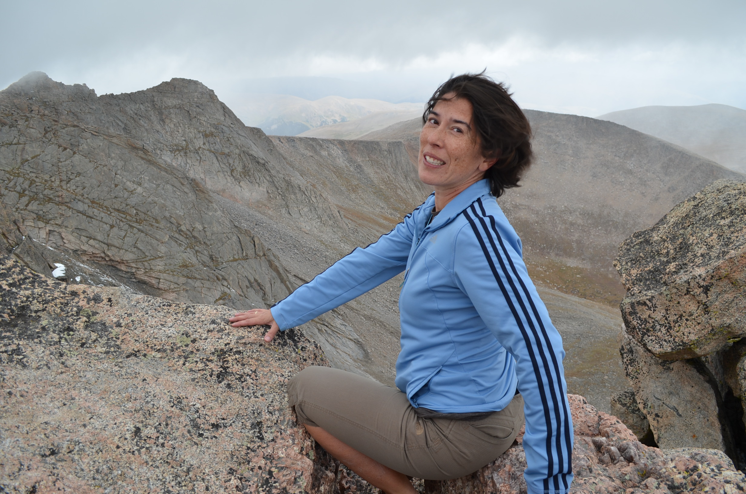
We had about 3 minutes to really enjoy the view — including a lovely view down to Denver — before weather moved in. And it came in with a vengeance! The snow was beating on our faces, the wind was whipping and it was COLD!
Megan and I were dressed for about 70 degrees. We brought light jackets and that kept us from being miserable, but we were still pretty chilly.
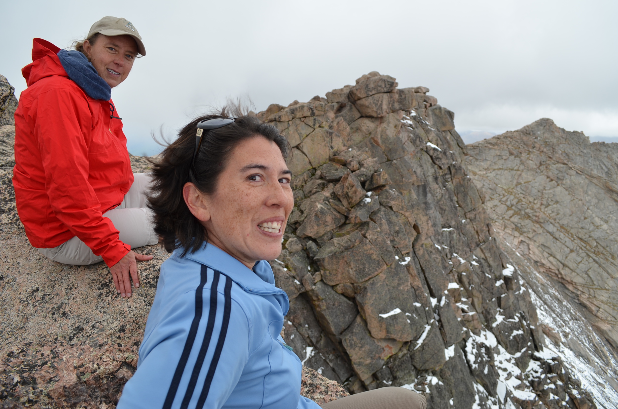
Enjoy some pictures from the “summit” (I put that word in quotes because to mention the summit suggests that we climbed all the way up. But we didn’t, we climbed about 100 feet).
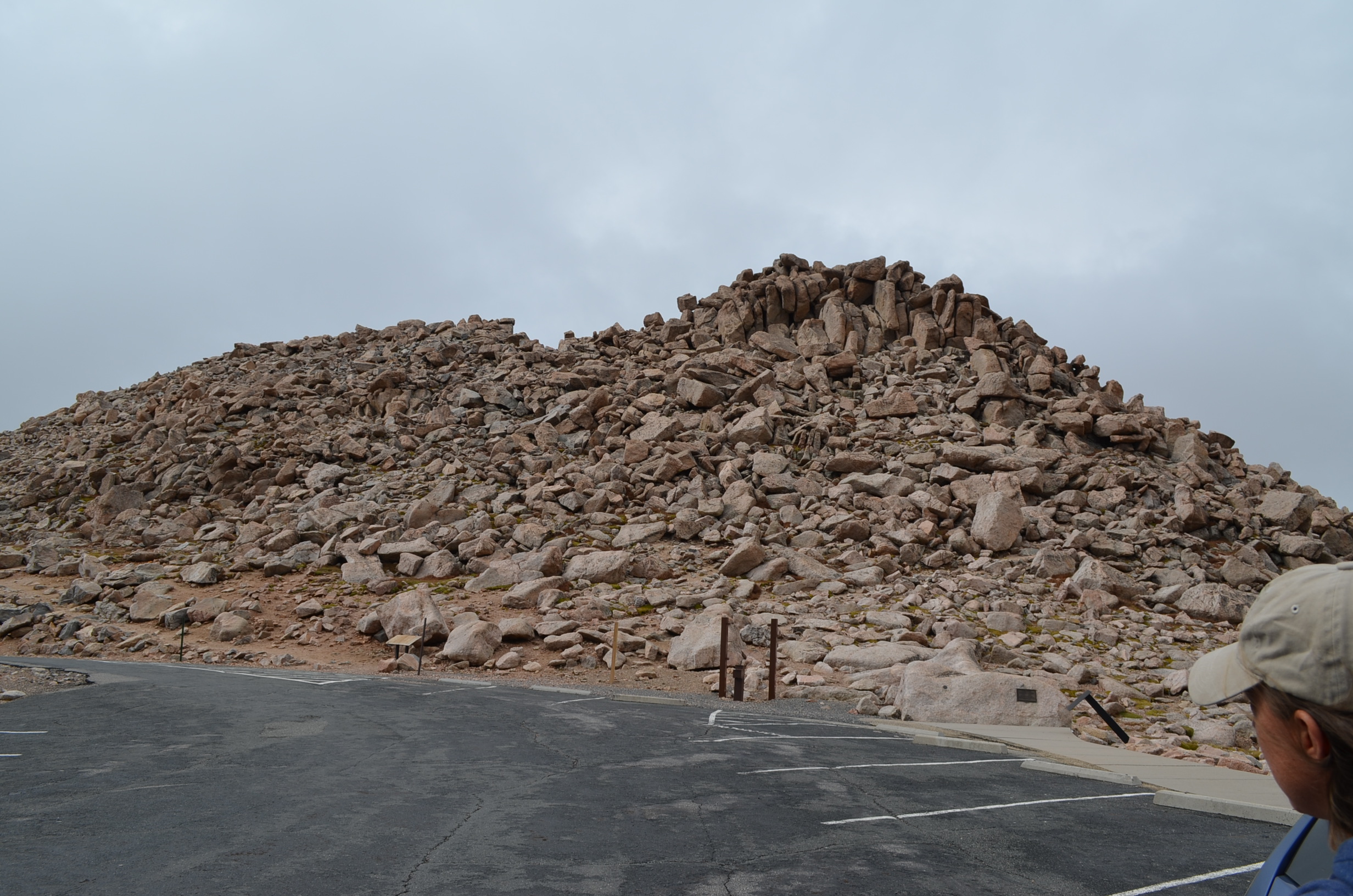
This is the pile of boulders we had to climb to get from the parking lot to the summit.

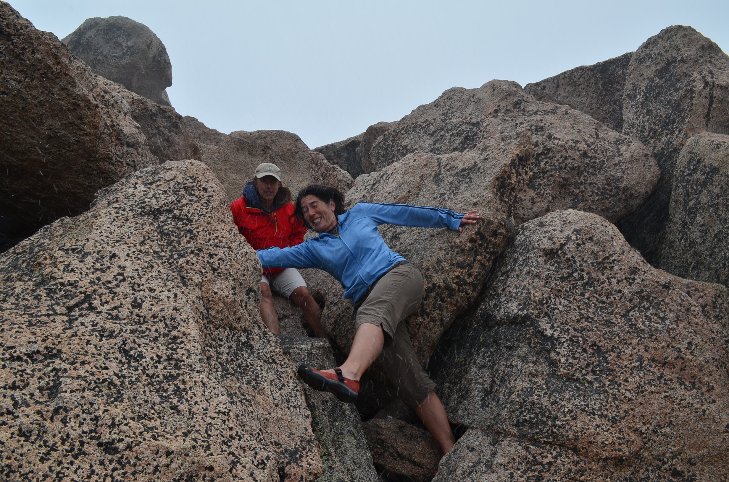
The trip up the boulders. It wasn’t terribly difficult on the way up…because the weather was good on the way up.

Our mountain tour guide.
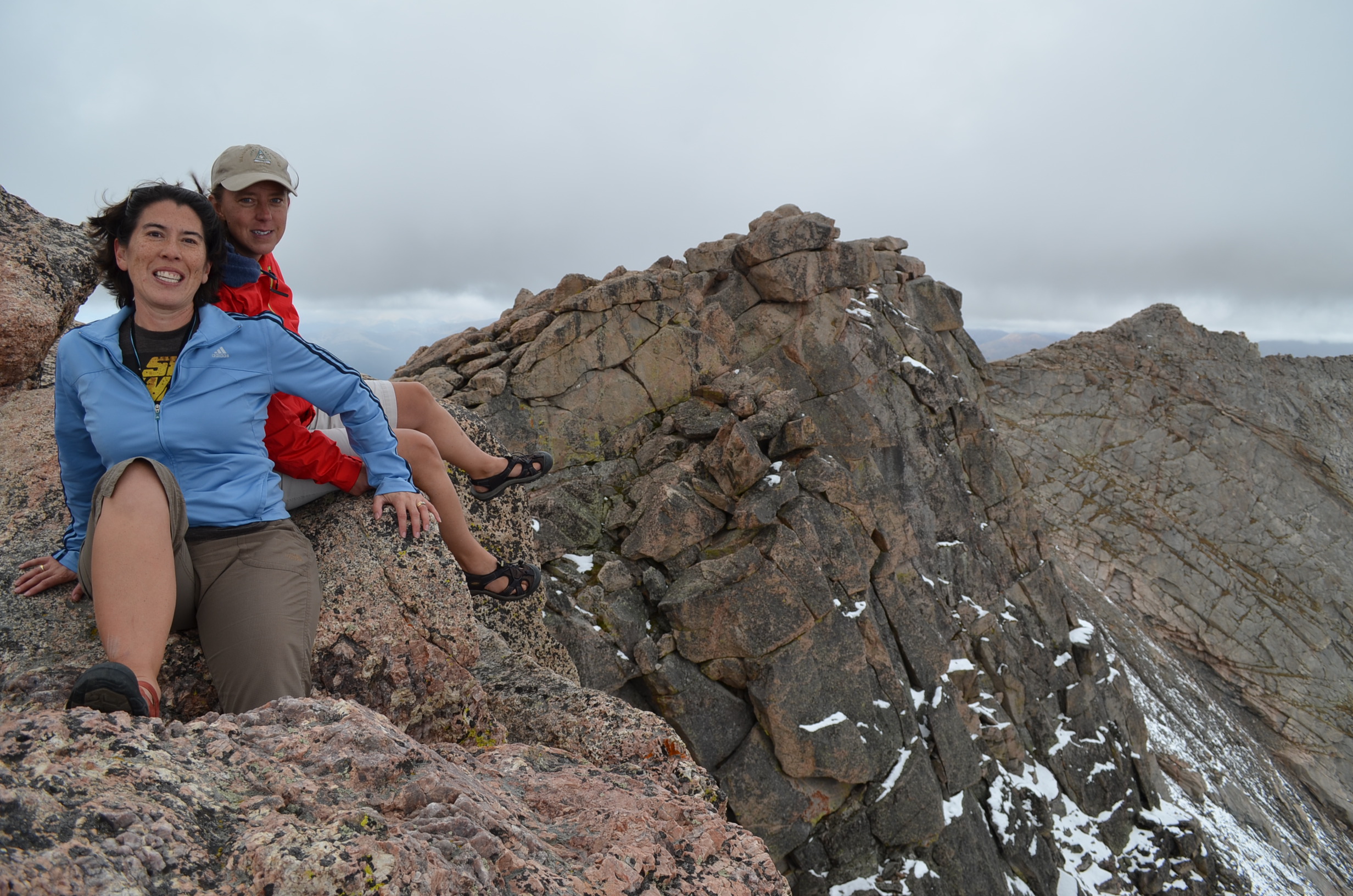
He took several pictures of Megan and me at the top. They got progressively sillier as the weather got worse.
“Smile!”…”Not too big…” “No, that’s not a big enough smile…” “There you go, perfect!”
I don’t know what we’re doing here…
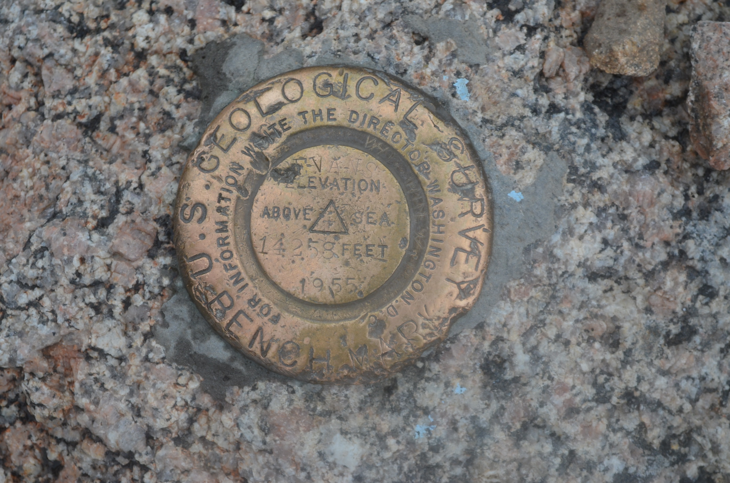
The USGS marker…just shy of the summit.

Back down the boulders to the parking lot. You can see that the weather got progressively worse while we were up there…and it was more slippery on the rocks on the way down. You can see the snow accumulating on Megan’s blue hood.
Recent Comments